AJA Open Access
October 2016 (120.4)
Image Gallery
Archaeology in Jordan, 2014 and 2015 Seasons
By Glenn J. Corbett, Donald R. Keller, Barbara A. Porter and China P. Shelton
Unless otherwise noted in the caption, images are by the author. Images are not edited by the AJA to the same level as those in the published article.

![Fig. 16. Changes in the Fifa landscape between 1998 (left) and 2014 (right) (left, D. Kennedy, APAAME_19980520_DLK-0133; right, R. Bewley, APAAME_20141013_RHB-200; courtesy Aerial Photographic Archive for Archaeology in the Middle East [APAAME]; www.apaame.org/).](https://ajaonline.org/wp-content/uploads/2016/08/1204_Corbett_gallery16.jpg)
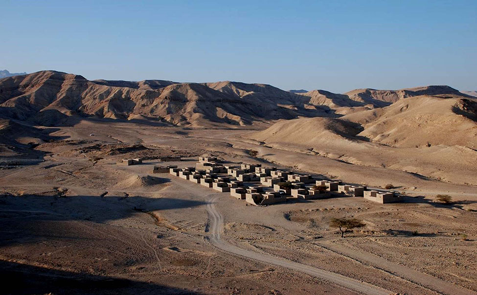

![Fig. 24. Aerial view of the village under study by the Islamic Bayda Project (D. Kennedy, APAAME_20081009_DLK-0371; courtesy Aerial Photographic Archive for Archaeology in the Middle East [APAAME]; www.apaame.org/).](https://ajaonline.org/wp-content/uploads/2016/08/1204_Corbett_gallery24.jpg)